Object
Available formats:
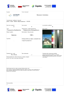
Download allTitle: Ustroń – Wisła – Istebna. Mapa turystyczna 1:100 000
Contributor:
Coverage:
Description:
wydawnictwo prezentujące działalność Powszechnej Spółdzielni Spożywców „Społem” w Ustroniu, Wiśle i Istebnej oraz mapę turystyczną tychże miejscowości w opracowaniu Jana Jejeśnicy
Publisher:
Wydawnictwo Kartograficzne – Henryk Witański, Katowice
Format:
Identifier:
S0005040 ; oai:194.177.29.117:4531
Source:
Muzeum Ustrońskie im. Jana Jarockiego
Language:
Relation:
Rights:
Object collections:
Last modified:
Feb 24, 2021
In our library since:
Feb 24, 2021
Number of object content hits:
1
Number of object content views in PDF format
1
Number of object content views in Galeria format
0
All available object's versions:
http://edzieje.ustron.pl/publication/4790
Show description in RDF format:
Show description in OAI-PMH format:
| Edition name | Date |
|---|---|
| Ustroń – Wisła – Istebna. Mapa turystyczna 1:100 000 | Feb 24, 2021 |